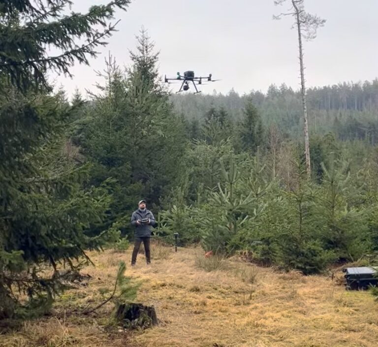
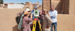
Geodatascientist Pouria Marzban (German Archaeological Institute, DAI) works in the field of remote sensing in the KulturGutRetter project. Before the Cultural Heritage Response Unit (CHRU) flies out to the disaster area, remote sensing data, maps, and other data are gathered. In this interview, Pouria Marzban talks about his research as well as the opportunities and challenges of using geodata for cultural heritage protection in emergency situations.
Remote-sensing technology has significantly expanded the horizons for investigating cultural heritage sites. Today, experts are using geodata for monitoring and managing cultural heritage sites. Whether in the air or from space, remote-sensing data is generated using various technologies, offering possibilities to monitor sites threatened by floods, earthquakes, rising sea-levels, or other environmental hazards.
Mr. Marzban, how does remote sensing benefit the protection of cultural heritage?
Remote sensing will benefit us on different levels. If we are talking about satellite images, it can provide us with insights on Earth observation to look into changes over time. These changes happen due to various reasons and cause deterioration and even destruction of cultural heritage sites as well. The risk factors that we look at include landuse or landcover changes, urbanisation, natural hazards, and conflicts.
How would remote sensing be used in a future deployment of the Cultural Heritage Response Unit (CHRU)?
In case of a disaster, and depending on the afflicted area and operational timeline, we map the archaeological and cultural heritage sites in the affected area and analyse available data to inform the deployment team about potentially damaged sites. Besides, it is important to make the teams on the ground aware of potential hazards in the deployment area, so that they can adjust their plans and operations accordingly.
What are your data sources?
There are various sources of data that can generally be categorised into freely available and commercial ones. ESA (European Space Agency), USGS (United States Geological Survey) and NASA (National Aeronautics and Space Administration) are among the sources that provide free satellite imagery. There are several commercial sources as well, such as Planet Labs, Airbus, Maxar etc., some of which have open data programmes that provide data during major catastrophic events. Most importantly, we have a very fruitful partnership with BKG (Bundesamt für Kartographie und Geodäsie), the German Federal Agency for Cartography and Geodesy, which provides us with very high resolution (VHR) data and valuable advice.
What methods are you using?
In general, we have categorised the types of our studies into preventive measures, time-series analysis (or monitoring), and rapid response. Preventive measures are related to methods for mapping potential hazards to specific areas and simulating their effects to inform ourselves about different scenarios for the future. Time-series analysis and monitoring allow us to map detrimental changes, due to natural or anthropogenic processes, which develop over a longer period of time. And finally, rapid response is done utilising methods such as change detection or damage assessment by analysing pre-event and post-event imagery.
What are the challenges of using remote sensing data before and during a potential CHRU deployment?
The main challenges are the availability and accessibility of data in a timely manner. Depending on how large the affected area is and how many archaeological or cultural heritage sites are located there, data processing and analysis can be time consuming.

How fast can you collect and analyse data, before the CHRU is sent to the disaster site?
In the best-case scenario, where the post-event data is available shortly after the event, the response time can be as short as a day. But if it takes some time until we receive the first set of post-event data, then we start preparing AoIs (Areas of Interest) based on other sources of information and also prepare to task a new data acquisition by satellite.
Can you tell us, what your current research is about?
Part of my research is always about finding new sources of data and new methods that can be useful for us now and in the future. I am always open to new ideas and case studies. Therefore, I am also exploring some other potential applications of remote sensing data in archaeology together with other departments of the DAI that combine satellite imagery with other sources of information such as geological and hydrological features.
Which sites are you currently investigating, and why?
One focus is on the impact of climate-related events and documenting the destruction they cause on cultural heritage. Examples include Cyclone Daniel in Libya, flooding in Pakistan, and wildfires in Sicily. More recently, we are also investigating a few sites from a different perspective in Jordan, together with DAI’s Damascus branch.
What do you hope to achieve in the KulturGutRetter project?
In the short term, we always have rapid response cases and sometimes a colleague’s request for recent imagery on a site they are interested in, and I will always be happy to help. In a long-term perspective, I have some ideas about an automated monitoring system for cultural heritage from which both research and protection of cultural heritage sites could benefit.

